PRODUCT DESIGN · 2026
Kōtare: an invitation
to look closer.
A bird-led app idea for finding sanctuary species near you: likely birds, other indicator species and simple ways to look after the places they live.
Ongoing project · work in progress
Kōtare started with a question: what if learning about birds and the other species around them felt less like studying and more like being asked to go outside? It’s an early concept for helping people in Aotearoa find sanctuaries, discover what may be living there and understand how those places are being cared for.
Product designer
Most people won’t open an app that starts with a huge species database. Kōtare starts with a place. Choose a sanctuary on the map, see the birds and other indicator species you may encounter, and receive a small prompt for paying attention. The first journey is short on purpose, so people can feel confident enough to go outside and come back.
Ecologist & naturalist
The app has to be upfront about what we don’t know, and about place. Expected species are not guarantees, and sensitive wildlife locations need protecting. Every species story should come with its habitat, seasonal context and the people working to care for it.
Product purpose
Kōtare is for people who’d like to notice the natural world but don’t know where to start. It shows sanctuary locations across Aotearoa, likely birds and other indicator species, and one way to help the place they live.
The idea is learn, spot, protect. It isn’t meant to replace a field guide. It’s meant to make choosing a place to begin feel less intimidating.
User flow
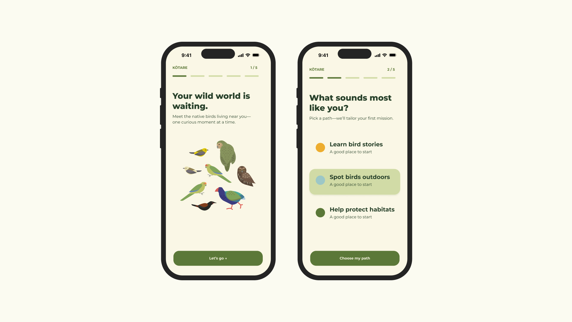
You choose a sanctuary on the map, see what birds are likely to be there, and pick a small mission that suits the visit. A simple location view can make expectations clear before someone arrives: which species may be present, what habitat they depend on, and how to watch with care.
Example — Tāwharanui Regional Park: the location view could introduce kākā, North Island robin, pāteke and tīeke as possible encounters, alongside one small mission: spend ten quiet minutes on the track noticing one bird’s movement before trying to name it.
A first encounter doesn’t have to turn into a checklist. It can just give you a reason to return to a place.
Ecological integrity
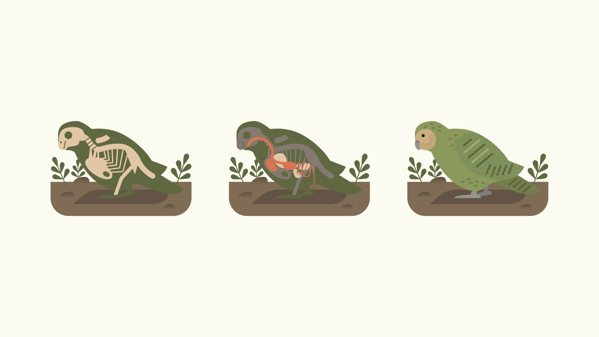
The illustrations are meant to make birds feel approachable without turning the whole thing into a game. They can also introduce other indicator species: their shape, behaviour, habitat and what they can tell us about a place. For vulnerable species, Kōtare would show broad viewing guidance rather than exact nest, roost or breeding locations.
In progress
This is still in progress. The first map will focus on sanctuaries, helping make the work of conservation visible and supporting the goal of Predator Free 2050. As predator control succeeds beyond sanctuary boundaries, the map could grow to include more places where native species are recovering.
Kōtare is an independent work-in-progress concept by Cullen’s Field Notes. The direction, content and interactions are still changing.